August 2023 Update
Maps, grazing, and more
We added a color-shaded relief view to the Montanoso map. Part of the ethos of Montanoso is working in the open and providing a framework for others to do similar projects. In this spirit we added a new documentation section to the website and posted tutorials on creating a drone map and using that imagery to create relief maps.
Seasons Change
This marks the end of one of the hottest and driest summers on record. We received a couple little rains near the end of August but barely enough to wet the soil. September looks to remain hotter and dryer than normal. I’m anticipating winter as El Niño is supposed to bring more rain than normal. If so we may have to prioritize building terraced dams and swales to capture the water and allow water infiltration.
Rotational Grazing
The Neighborhood Zero longhorn remain at Montanoso for the time being. We’re waiting on a gate between the properties before moving them back. They’ve been spending the hot days under the shade of a large oak tree before coming out to graze in the evenings.
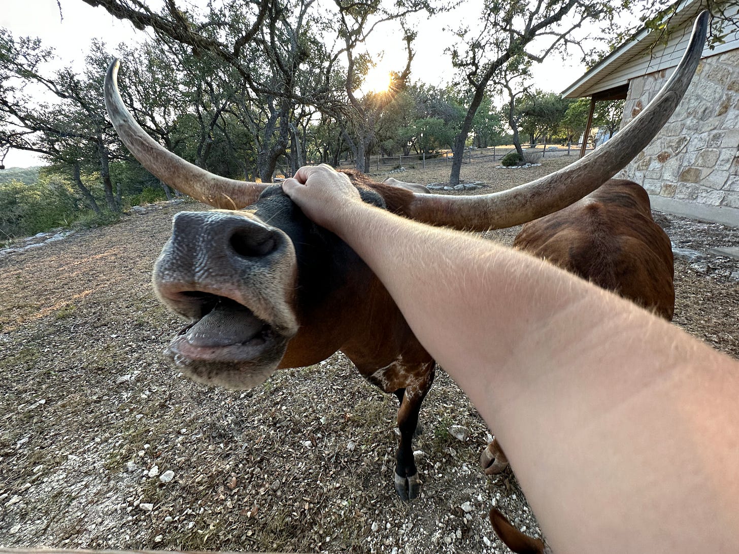
They’ve learned that if they come to the front porch or kitchen window they can expect a tasty range cube. They’ve become friendlier and both now allow me to pet their heads. CAO in particular enjoys the head scratches.
I’ve noticed they have been selectively grazing: preferring to spend their time in the backyard and on the hilltop. Rarely do they graze in the front yard. I’m worried they may be overgrazing those areas, especially given the summer drought. I think we should try moving their trough to the front yard before they return next time, to encourage them to graze that area.
Looking Forward
Between the longhorn and hot weather we haven’t had many land projects recently. As the cool weather returns I’m planning to host more work parties, this time with an emphasis on the backyard building trails and swales. I’ll also continue to improve the map website, adding features that let us plan projects and infrastructure.


