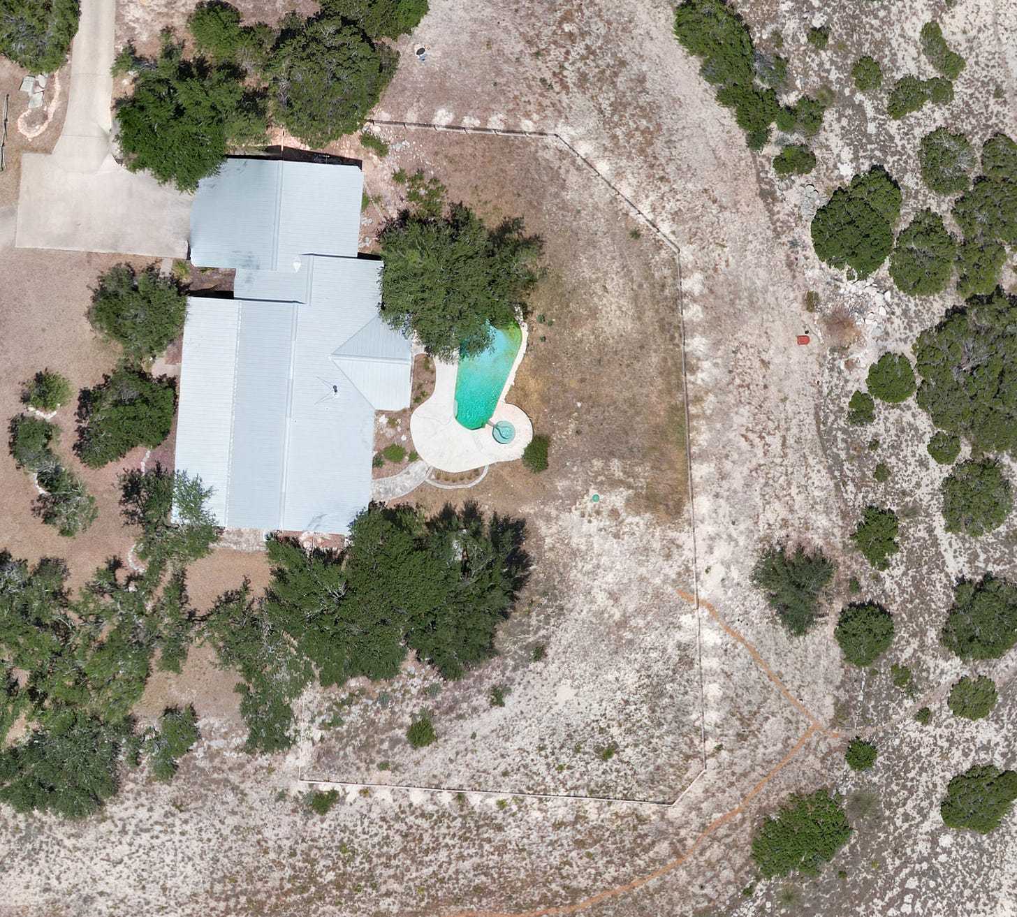
The big news this month is the launch of the Montanoso Map. I created this map using a drone and a mix of commercial and open source software. I’ll post detailed instructions later so that others can recreate the process for their own village.
A recent and high-resolution map is important for Montanoso. It is necessary for land use planning and makes it easy to track various projects and terraforming efforts. No existing map provider fit the bill. Google Maps is low resolution and 1.5 years old. Bing Maps is even older. Planet Labs can provide recent images but is low resolution and very expensive. If you own a decent sized chunk of rural land it’s better to just do it yourself.
Map Highlights
With a high-res, week-old image we can look at some of the projects from the last year.
The cow fence encloses the pool and a bit of land behind the existing house. It was located far enough away so as to not obstruct the view when observing from the living room and pool patio. The fence changes the character of the yard, providing a sense of enclosure and clearly delineating paths. The white spots are piles of dirt where we emptied the auger while digging the fence post holes.
The trails were recently covered with a fresh set of chips and stand out sharply against the limestone ground. At the bottom of the image you can see the steps we constructed to take people to the front yard.
The wildflower meadow is located between the clusters of oak trees in the top-left of the photo. You can see the individual oaks clearly after we removed most of the junipers. Compare to Google Maps from 1.5 years ago before the process was started when these clusters were indistinguishable blobs of trees.
Piles of cleared junipers are visible along the bottom and left sides of the image. To the right you can see two piles of wood chips that were chipped from a former pile. In the lower right you can see where I’ve been spreading some chips over the degraded limestone soil. I first put down a layer of native grass seeds and then gave it a small cover of chips. The hope is to slow water erosion with the chips and establish a stand of grass in that barren area.
Looking Forward
This is just the first version of the map. I intend to create a new base map seasonally to watch the land develop and change. I’ve also been working on a digital elevation model that makes it easy to visualize the hills and contours. The map will become the foundation of our zoning and land use planning system. Stay tuned.


