A couple weeks ago we had a design charrette to work on the hilltop street layout. Adam, Ben, and Maryssa came out to help. In anticipation I ordered 21 tons of stone.
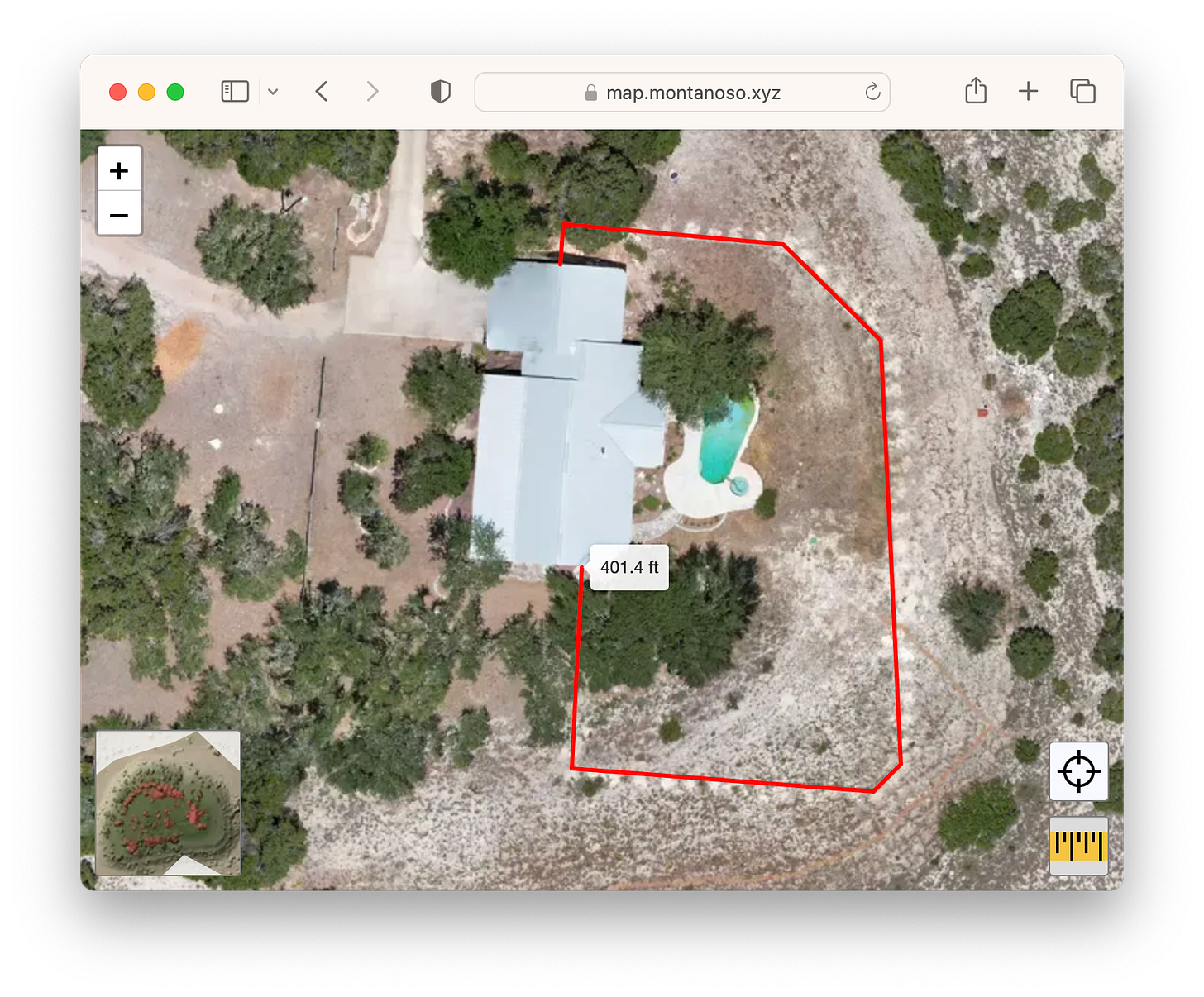
The goal was to get a feel for the space, measure out the lots, and lay two streets. We started by measuring 50 ft from the edge of the hilltop. This created a series of plots along the perimeter. Then we walked and flagged the main street path. After planting flags for the various boundaries we placed stones to more permanently mark the locations and give a feel for the space.
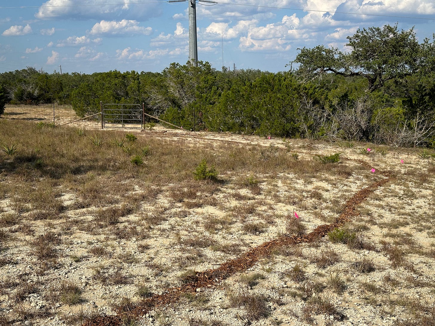
Since the event I’ve been enhancing the boundaries. I set up a string line to measure a straight main street and placed stones every 15 ft. Then I measured 50 ft off the street to create an additional set of lots. There is still one corner that is a little unclear: it is too far from the right of ways so we may have to add a little alley to access those lots.
I hope to fill in more of the stone boundaries in the next week or two before updating the drone map. Be sure to watch Twitter for that announcement.
Speaking of the Montanoso Map, I’ve added a distance measuring tool and a lat/lng tool for copying point locations. These will come in handy for planning purposes and benefit from the high resolution imagery we now have available.
Gate and Rotational Grazing
We had a gate installed along the fence with Neighborhood Zero, thus completing the Path to Cabin. This made it super easy to move the longhorn back home, no more trying to herd them down the public street.
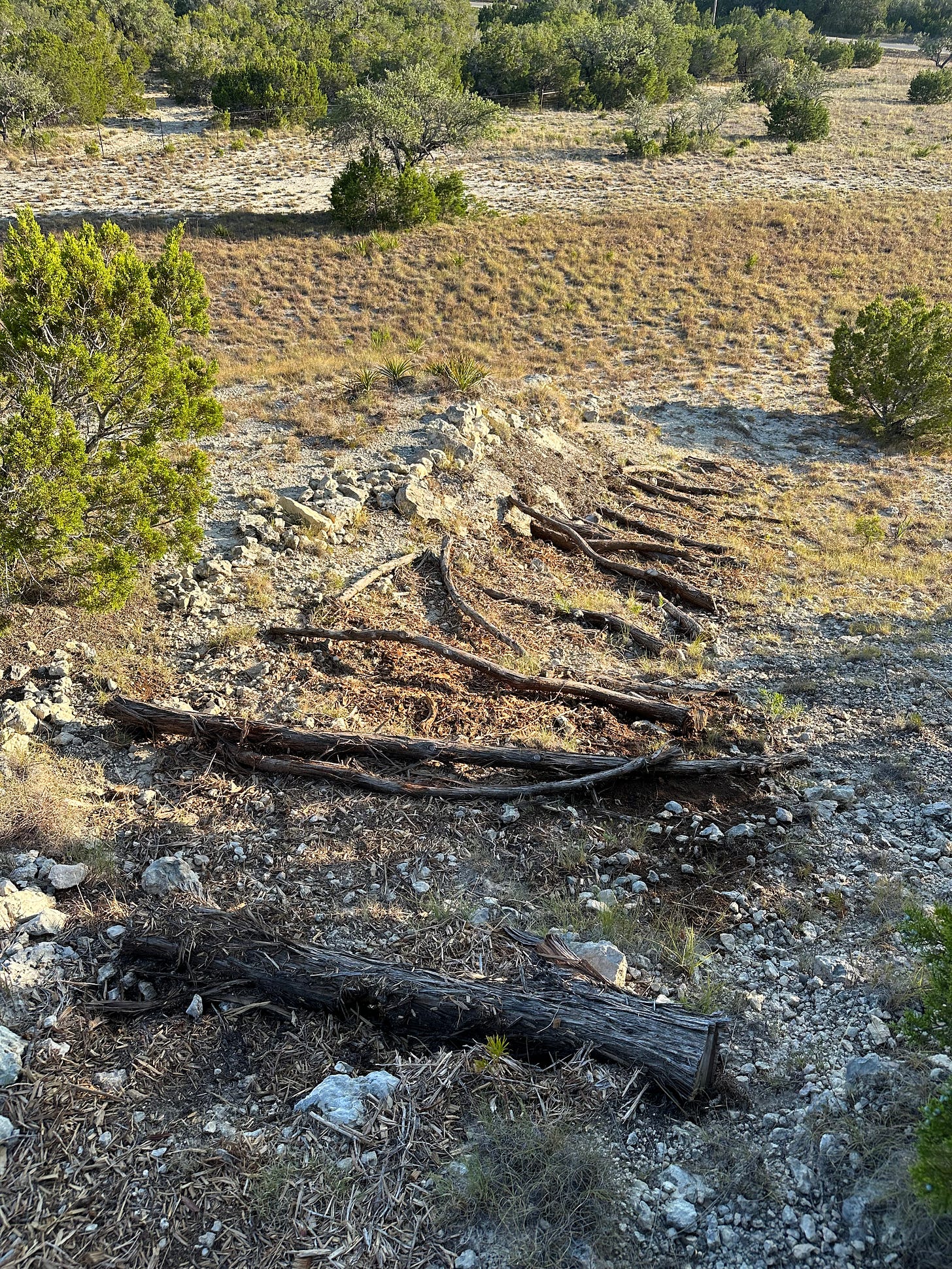
With the longhorn gone I am able to take a survey of the property and check on things. The only major casualties were the Front Steps. They were strong enough to handle foot traffic but were no match for hoof traffic. About a quarter of the logs have been dislodged. I will attempt to repair it and build back better.
Erosion Control and Water Management
One of my big concerns last month was overgrazing the grass. We’ve had some more rain and I’m happy to report that the grass is generally coming back strong. Grass is thick near the cow’s trough. It’s recovering on the hilltop and elsewhere. But the grass in the backyard is still thin and in sad shape. I don’t know that I can blame the cows because this grass has been thinning since the property was acquired nearly two years ago, perhaps because of the ongoing drought.
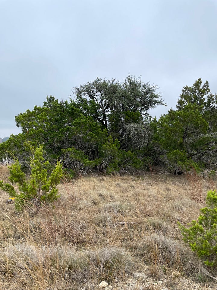
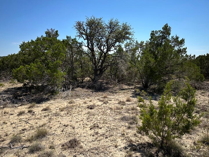
We had a heavy, high-intensity rainstorm one day this month. While the water is appreciated the land was is in no shape to accept it. The land already suffered from runoff and erosion but with the lack of grass from the drought and grazing it made the problem even worse in a few areas. I wandered the property and mentally catalogued everywhere I saw signs of erosion and runoff.
Last month I talked about building swales. I tried digging a test swale and quickly realized the magnitude of the effort. If we proceed this route I’ll definitely rent an excavator for a long weekend.
The property had decent grass when it was acquired and there are still roots visible in areas (dead or dormant, I’m not sure) so perhaps a lighter touch is viable. I’m considering ways of reseeding and overseeding to improve the grass cover. We’d want to avoid runoff and erosion while they establish, so we could place erosion control blankets or cover the ground in a layer of straw to hold seeds in place, shade the soil, and retain moisture.
Another idea is to build makeshift dams out of straw bales. They would hold water in place giving it time to infiltrate and give time for seeds to take root. They would break down slowly over time providing additional biomass for the soil. Lots of ideas to consider and I’m open to recommendations.


